


Download the 2022 ESG Report
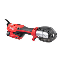
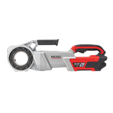
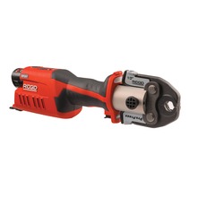
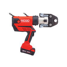
Rugged Jobsite Tools
Built For Those Who Know.™
Some invent to change the world, at RIDGID we invent for those who build it. In 1923, we invented the modern pipe wrench and since then everything that carries the RIDGID name has been designed and crafted for strength, effectiveness and legacy.
Products
Driving Environmental, Social and Governance Progress
Our company embraces the needs and demands of modern business. We`re leading out industry to create a healthier, safer, smarter and more sustainable world, while building a fair, representative workforce to make this possible.


Emerson's Professional Tools Portfolio


Greenlee
Greenlee® has been elevating the industry standards through delivering innovative products and solutions to drive efficiencies and improve safety to meet the demands and needs of our customers.


Klauke
Klauke is renowned for its high-quality, electrical connection technology and tools for crimping, cutting and punching.


